 |
| The Summit Cairn in the Background |
Well, the short story is that June 11, 2011 the Xtremeteam bagged Mt Marcy, the highest of New York's Adirondack High Peaks. At 5,344 feet it wouldn’t seem to qualify as a major alpine conquest, but factor in 15 miles of boulder hopping, ankle deep mud, steeply angled smooth rock and a few short sections of flat logs placed by the ADK to help hikers navigate the swampiest sections, and the level of difficulty is definitely kicked up a few notches. Throw in a steady rain, 40 degree temps and 70MPH gale force winds on the summit and you wind up with a hard day’s work.
Getting There
The drive up from our NJ staging area was a pretty simple, albeit lengthy affair, which was good news since the Garmin Nuvi I brought along wouldn’t boot up and I had no backup maps in the car. Fortunately I had checked out Google maps earlier in the day and memorized enough to know I just had to stay on I87 North until exit 30 and then follow the signs to Lake Placid, site of the 80’ Olympics. A mere 270 miles later we were pulling into the parking lot of Art Devlin’s Motor Lodge where we would bivouac for the night. The rooms were fair sized, with clean, modern bathrooms, and plenty of fresh towels. The XtremeTeam is happy to bestow the five-time Olympian and former Wide World of Sports color commentator two thumbs up for his reasonably priced accommodations. Although Art left this world in 2004 and is probably in a place where receiving kudos from a guy from NJ isn’t going to result in any kind of lifestyle change, I salute him just the same.
The Climb
The route we chose was the well worn Van Hoevenberg Trail, which starts at the Adirondack Loj parking lot and covers about 7.4 mi. to the summit with an elevation gain of 3,200 ft. Most trail guides suggest you give yourself 8-10 hours for the round trip, so of course our target was under 7 hours.
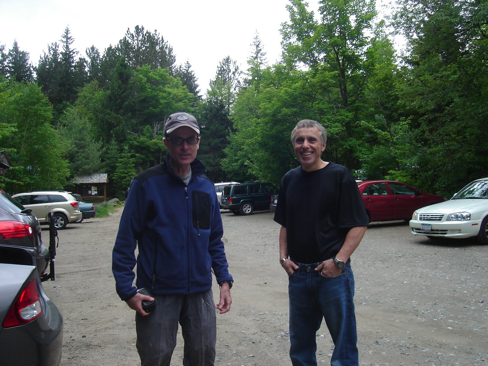
By 8:15 AM we had knocked back a couple of eggs over-easy at Ashley’s Café and were headed to the trailhead. The plan was to meet up with my brother Joe and his friend Rich from the Vermont Contingent who were taking the early morning ferry across Lake Champlain to make our scheduled 8:45 AM start. Driving about 5 miles back down Rt 73 we see Adirondack Loj Rd on the right. Turning in, we drove another 5 miles or so to the parking area where my ADK membership card scored me a $5 discount off the regular $10/day fee. The good sized lot was already about half full, with hikers milling about filling up water bottles and lacing up boots.
Like clockwork, we spotted the Subaru with the tell-tale green Vermont plates pulling in at 8:35 and after some quick equipment checks we were on the trail 9 minutes later. Under a light but steady rain, we signed the trail register and joined the procession heading into the woods. The mild elevation gain, 60F temperatures and only moderately muddy trail conditions permitted the 4 of us to cover the first 2.1 miles to Marcy Dam at a steady pace with everyone breathing easy enough the keep each other amused with the usual mindless banter. With the rain still fairly light and our bodies warmed by the steady pace, I suggested to Milos that he remove his rain pants so he could stay cool and we could make a better pace. I had left my rain gear in my backpack and was feeling pretty comfortable with just a Nike moisture wicking turtleneck and my new Prana Zion II hiking pants which were doing a surprisingly good job of repelling the rain. With a totally undeserved faith in my infinite trail wisdom, Milos quickly pulled down the side zippers of his gore-tex pants and stuffed them into his pack, a move that would have near disastrous consequences several hours later.
Crossing the dam, the trail took a sharp turn to the right and about 100 yards later the real climbing began. Although the incline wasn’t too steep at this stage, mostly in the 15 to 30 percent range, the real challenge was the trail surface which was mostly small boulders 8-12 inches in diameter, mixed with tree roots and mud puddles. Concentration was required with each step to find a stable surface to serve as a launching pad for the next bound forward.
 |
| Unidentified hiker near summit |
Picking up the pace even more to make up for the lost minute or so, I started taking chances with my foot placement and my forward motion was now reduced to a near continuous series of corrections for off balance landings. Statistically speaking, this pattern could not be maintained indefinitely and sure enough I eventually lost my footing and went flopping forward face first. Fortunately my landing zone was mud Vs rock and I found myself in a four point landing, suspended by my left forearm, right hand and the toes of each boot. Beneath my torso was a slurry of black mud that I was desperately trying not to drop into.
Ghost in the Machine
……..struggling to get into a push-up position so I could get my feet under me and rise to a stand without having to drop into the muck inches from my body, the extra few pounds of my backpack seemed more than my arms could overcome. Pushing for all I was worth, I was barely holding myself even, with seemingly no hope of avoiding a belly flop into the black slime beneath. Then….., footsteps approaching, help had arrived! It was the two youngish guys I’d noticed making ground on me during some of the switchbacks. “Keep pushing, you can do it” one laughed. That drew a louder laugh from his companion as I watched two sets of feet cautiously step past me and continue on. Arrogant little punks, but I was more concerned with my shaking arms and gradually descending altitude as well as the strange fog that was starting to envelope me. Through the mist my eyes were drawn to two objects just to the right of my face that seemed to have appeared out of nowhere. The fog seemed to be playing tricks with my focus because they looked for all the world to be two vintage sneakers attached to a pair of spindly, corduroy draped legs. Straining to look up, my head was suddenly rattled with DUN…DUN, DUN, DUN! “WTF was that”? With a self-administered chiropractic neck twist I looked up to see a weathered face, covered with grey stubble and topped with a wool cap. DUN…DUN, DUN, DUN. There was something so familiar about this scene I could almost taste it. As my mind raced to put together the pieces, he looked down at me and growled “well, whadda we waiting for?”
That’s it! It’s Mickey Goldfill, the Burgess Meridith character who played Rocky’s trainer and that sound rocking my brain is the lead-in to “Eye of the Tiger” from Rocky III!
“'It's the eye of the tiger, it's the thrill of the fight, rising up to the spirit of our rival….”
On command, attitude-adjusted arms halt my descent and start to reverse course. Picking up speed with each millimeter, I’m on my feet in a matter of seconds. Looking around, Mickey is nowhere in sight and the fog is rapidly dissipating. No matter, I’ve got a mountain to climb and a couple of young turks up ahead to educate. Overtaking the duo about 15 minutes later, I overheard one of them mumble something about stopping for lunch. No need for me to say it out loud, since all three of us knew their lunch had just been eaten!
Hope I don’t run into Mr. T up here, ‘cause I’m liable to kick his ass too!
Cut to a close-up of the eyes, irises a burning yellow color with small black slits for pupils…EYES OF THE TIGER!!
The camera pans back and the eyes transition to normal as the frame slowly expands to reveal the subject spread eagled on his bed, staring outwardly, face fixed in an expression of equal parts fear and aggression. The dream sequence is quickly brought to a close and the audience herded back to reality with little time to ponder the significance of what they had just witnessed. Is this merely an overactive imagination or is there something much darker at play here?
Reality Bites
By slowly working my toes forward I managed to right myself and had climbed down the banks to Phelps Brook to rinse the mud off my hands and left forearm by the time the two guys who had been shadowing me on the switchbacks showed up. One of them called down to see if I was OK and held up a water bottle that had apparently slipped out of my pack at some earlier point. I thanked him for retrieving it and gave him the thumbs up to indicate that beyond enjoying a serving of humble pie, all systems were go with me.
After climbing up the river bank and clipping into my REI backpack, my legs felt surprisingly fresh and light as I resumed climbing. I attributed my newfound to energy to finally completing the digestive process on the high fat breakfast I consumed a few hours earlier, freeing up precious blood supply for motor functions. Within 15 minutes I had caught and passed to two good natured climbers who had returned my water bottle, and despite the steep, rock studded terrain, was really getting into a rhythm. With the rainfall holding steady at a light-to-medium level, the water streaming down the steeper sections was building up to 1-2 inches and my Vasque Goretex boots were showing the first signs of losing the battle with the relentless H2O.
Meanwhile my Magellan Sport Trak seemed to have permanently lost 2 of the 3 satellite signals shortly after passing Marcy Dam, so I was now dependent on the Casio Pathfinder to track my altitude gain. A parking lot check had determined that it was consistently calculating the same -200 foot error observed on the Breakneck Ridge hike, so by simply applying that factor it was actually turning out to be a pretty handy gizmo after all. The thermometer function was also providing useful intel, as it was getting progressively colder, dropping a degree or two every hundred feet of ascent. By this time my moisture wicking top was waterlogged and it was only the hard pace keeping me warm. Although my legs were damp with sweat, the Zion pants still seemed to be shedding most of the water hitting them.
The terrain continued it’s steep and rocky form factor, with occasional scrambles required to climb over large boulder strewn sections. As the trees thinned approaching the timberline, the winds, which had been whistling through the treetops, started to be felt at ground level. It was getting decidedly chilly when I ran into a figure bundled head to toe in a hooded rainsuit, huddled against the scrub pines. As I approached she stepped out and introduced herself as an ADK Trailmaster. After getting some quick instructions to avoid straying from the marked trail in order to minimize damage to the fragile arctic terrain above the timberline, I headed off, confident that I was in the homestretch. As I emerged from the last of the trees onto the rock dome that constitutes the final few hundred feet of the summit, I was taken by surprise by the force of the windblast coming from the Northeast. What had been merely a strong, gusting wind in the low pines, turned into a gale force zephyr on the exposed dome. Realizing the cryogenic effect on my soaked body was about to land me in a capsule next to Ted Williams, I quickly tried to tear off my backpack to get out my EMS Goretex Deluge rain jacket. Unfortunately what I didn’t realize up to that point was that my hands had gotten so numb that I was unable to squeeze the release buckle on the chest strap hard enough to disengage it. Knowing that continuing on without warmer clothes was a disaster in the making and than turning back was not an option, I came up with the idea of finding two suitably sized rocks that I could grasp with the palms of my hands and use them to squeeze the buckle releases. It took about five frustrating minutes, but this actually worked. After managing to tug up the jacket zipper up with my frozen fingers, I took off trying as hard as I could to work up some body heat. The wind was driving the rain horizontally, stinging my face and forcing me to pull my hood at tight as possible around my face, eliminating any prospect of peripheral vision. Yellow arrows painted on the rocks lead the way as the trail winds around the sections where the thin coating of arctic flora survives.
The final hundred feet or so is basically a steep and smooth rock surface and by the time I arrived at that point the only way to avoid being blown off the mountain was to stay leaned over as far as possible, dropping onto all fours whenever a major gust hit. When I got to what seemed to be the summit, I did a quick 360 to confirm there was no higher ground in sight. I had heard there was a plaque somewhere on the summit, but seeing nothing but an expanse of flat rock and the cairn that I assumed was marking the true summit, I figured that I didn't need no stinking plaque! Barely holding my own against the gale, I hit the SPLIT button on my stopwatch which was reading 3 hours and 11 minutes. After mentally recording a temperature reading of 40F and an altitude of 5150 ft (add back in the Casio -200 ft error and I was right at 5344), I prepared to head down as fast as possible.
 |
| Joe on the Summit |
Houston, We Have a Problem
That’s when I realized how easy it is to get disoriented when you are on a basically symmetrical surface with no distinguishing features, have no peripheral vision to give you perspective and have just turned around in what you assumed was a 360 degrees arc. Starting off in what I felt was the right direction I started to panic when I couldn’t find any yellow markers and couldn’t recognize the landscape as something I would have crossed a few minutes earlier. Dumbfounded and humbled that I could get confused so easily, I was relieved a few moments later when I spotted figures in the mist coming towards me. As I approached them I was amazed to see three fairly young girls, lightly dressed and drenched to the skin fighting through the wind to the summit. After confirming that they had come from the Van Hoevenberg trail I wished them luck and headed down in the direction they came from. A little further on I spotted the first of the yellow trail markers that would guide me back the treeline where the trail would be easy to follow. Coming off the steepest section of the summit I met up with Milos, who was also drenched to the skin from the waist down since he never put his rain pants back on. I suggested he leave his pack with me and make a run for the summit as fast as possible since he was carrying a heavy digital SLR and with conditions what they were, he would have no hope of getting any kind of shot off anyway. It probably took him only 10-15 minutes to make the round trip, but as soon as I stopped moving the chills came back. It was impossible to find shelter from the wind up there, so as soon as he arrived I tossed him his pack and recommended an immediate evacuation to lower ground.
 |
| Rich at the Plaque |
Meanwhile Milos was starting to suffer leg cramps, probably due to a hypothermic reaction in his drenched lower body. Limping badly and having to stop every hundred meters or so to work them out, it was obvious that he wasn’t getting off the mountain under his own power unless he could get into some dry clothes and start to warm up. Finding a patch of fairly dry ground under some hemlocks, I helped him strip off his boots and pants and get into a pair of dry shorts and his Goretex rain pants. Fortunately he also had a dry sweatshirt in his pack that he put on under his rain jacket, which I felt would help get his core temperature back up. As we worked our way down to lower altitude the temperatures gradually warmed and the cramps grew less frequent.
As we approached Marcy Dam, my stopwatch was showing 6 hrs and 17 mins. Since my goal was to complete the hike in sub 7 hours and it took 50 minutes to do this leg on the way up, there was no choice but to kick it up a couple of notches. Comfortable that Milos was “out of the woods” as far as his cramps, I starting double-timing it as fast as my weary legs and sore feet would carry me. Fortunately my Magellan had finally regained enough satellite signals to calculate position so I was able to check my progress against the clock. With 1.0 miles to go it was clear it was going to take a sub 11 min/mile pace to make it in under seven hours, so I broke into a jog and managed to slog across the unofficial finish line at the trailhead in 6:58 and change; less than two minutes to spare, but mission accomplished nevertheless. I wandered up the ADK hut and bought a hot coffee to have with the somewhat soggy sandwich that had traveled with me to the summit but that I never even thought to eat. Milos rolled in a few minutes later and we both lamented that we had zero photographic evidence to prove we even made it to the summit.
Joe and Rich emerged from the trailhead about 30 minutes later, clearly having made up substantial ground on us during the descent. It turned out they had found the summit plaque on a wall a little below the actual summit. The location offered reasonable shelter from the wind as they were able to take a break and eat lunch with a couple of other hikers who had made it.
 |
| Rich and some other guys eating lunch at summit |
Epilogue:
Although it was expected that the 15 mile round trip would be a bit of a workout, the difficulty of the terrain and the tempest like weather conditions added a level of difficulty to the climb that belied the modest 3200 foot ascent to he 5344 summit. Beyond notching one more success story in the XtremeTeam's proverbial belt, the 2011 Mt. Marcy climb has contributed a wealth of data supporting Roseanne Rosannadanna’s still unproven 3rd theorum that “It’s always something”, as well as her 4th postulate that states “ If it isn’t one thing, it’s the other”.
 |
| At least we can prove we made it to the parking lot! |
Product Reviews
EMS Deluge Goretex Rain Jacket
(See review I posted on EMS site below)
Prana Stretch Zion II Hiking Pants.
These pants are the bomb!
I picked these up at Campmor a few days before the Marcy hike and was sooo glad I did. Best lightweight hiking pants I’ve ever owned.
When I tried them on they had great a range of motion as well as a built in belt which I knew I would need as my pants tend to fall down when carrying a backpack.
After seven hours covering 15 miles of rock hopping and mud slogging in light to medium rain, with 60MPH winds and 40 degree temps on the summit, these pants remained amazingly warm and dry.
I really like the fact that the material allows for enough stretch so you never feel your movement is limited, while completely avoiding the "look at my sexy thang" spandex look.
A great feature on these pants is the little snap that lets you roll up the ankles about 8 inches and hold them in place. Due to the deep mud we had to slog through this kept them from getting soaked and caked with mud. Can't recommend these enough!
Casio Pathfinder Triple Sensor Watch
Originally reviewed during the Breakneck Ridge post-mortem, at the time we weren’t too impressed with the usefulness of this device. In retrospect it wasn’t a fair test, since on that hike the temperature and altitude only varied by a relatively small margin, thus the key functions simply confirmed what we already knew; it was hot, humid and the hike would take us about 1000 feet up from the trailhead.
The Marcy hike demonstrated that having a self contained unit that did not have to rely on satellites to calculate altitude has some definite advantages and knowing the outside temps can be critical information for safely assessing your situation when things start to turn chilly.

1 comment:
Yeah, this guy is your typical gear-head. They have more in common with Carrie Bradshaw than Ueli Steck. It's all about the shopping
It just happen that my buddy and I were strolling Marcy that day and I suspect that we were the "young Turks" in this guys fantasy. When we found him he was flailing around in the mud like Randy in a snow suit. After we helped him up he headed back to the lodge. I guess he summited in his mind. I didn't notice the "eye of the tiger" but I did see the tail of the poodle.
Post a Comment